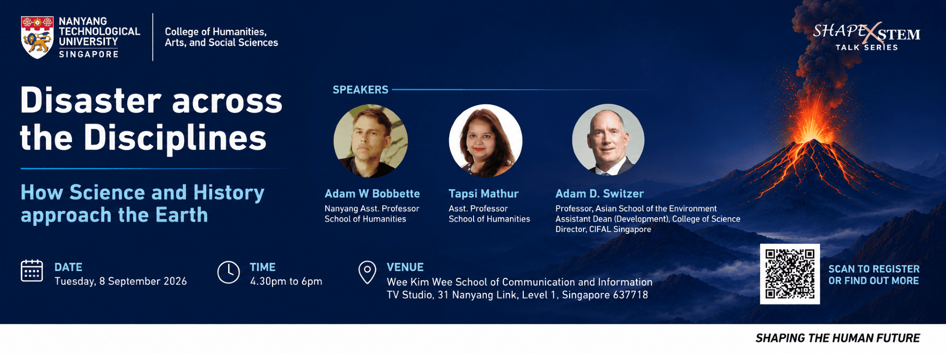
Knowing the Volatile Earth: How Southeast Asia Made the Modern Earth Sciences by Adam Bobette
Why do scientific perspectives on natural disasters changed over time? How do cultures make sense of volatile nature? This talk explores how scientists in Southeast Asia have long sought to make sense of what it means to live on an unstable and dynamic earth. I examine how western scientists learned to think in new ways about planetary dynamics from Southeast Asian knowledge traditions including mystical Islam, animism, Hinduism, and Buddhism. Disaster science, it turns out, has never been secular but always about telling big stories about the history of the earth and humanity.
The History of the Earth in Geographical Science by Tapsi Mathur
This talk will examine the history of the discipline of geography in the nineteenth century. I take the example of how European and Indian explorers gathered information on the physical geography of the earth to work towards some idea of a "known geography," an epistemic ideal where all of geographical knowledge could be made known. I examine how science came into conflict with such ideals of empire, leading to the emergence of a distinct scientific method that distinguished geography from other disciplines which also traced their origins to what was called geography in the early nineteenth century. In short, I will show how the meaning of "science" changed in the mid-nineteenth century, by tracing how explorers shaped the geographical method in the British Empire.
Echoes of Catastrophe: Reconstructing Disasters from History by Adam Switzer
Historical records offer a powerful but often underused window into past natural disasters. Written accounts, maps, newspapers, government archives, artwork and oral histories can preserve evidence of events that occurred long before modern instruments existed. For Earth scientists, these sources can help reconstruct the timing, magnitude and impacts of typhoons, tsunamis and volcanic eruptions, extending hazard records by centuries or even millennia. Yet historical information also comes with challenges, including incomplete observations, exaggeration, changing place names and uncertain descriptions. By combining historical evidence with geological records, modern mapping and numerical models, we can test old accounts, refine disaster chronologies and better understand how rare extreme events have shaped communities and landscapes. The past can therefore provide crucial insights for anticipating future hazards.